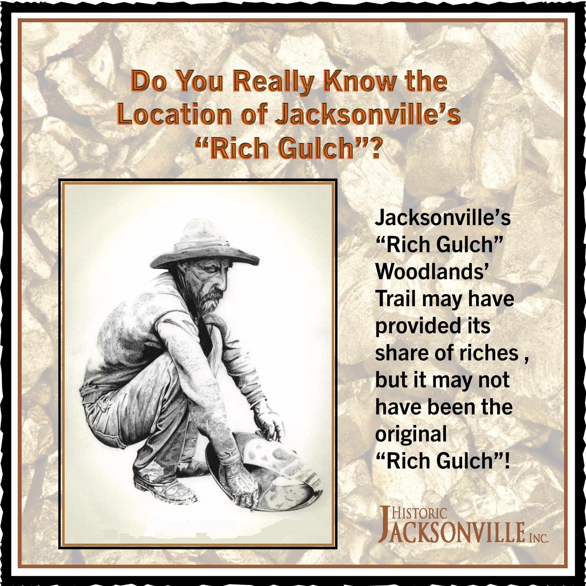
Have you hiked Rich Gulch Trail in the Jacksonville Woodlands? The trail may have seen its share of riches, but Historic Jacksonville, Inc. has discovered that it may not have been the site of the “mother lode” when it came to local gold strikes.
In January of 1867, a major storm brought so much rain that Jackson Creek flooded much of the town, washing out mining claims in the Woodlands area and flooding businesses and homes. “The Oregon Sentinel” newspaper reported on much of the damage:
“In town, the first building attacked was Plymale’s Livery Stable. The water was high enough to run around the building on the side fronting “C” Street. Great fears entertained that the waters would break through in the old drift or tunnel running down “C” Street, in which case the whole creek would probably have cut a channel, DISCHARGING INTO RICH GULCH AT THE CLERK’S OFFICE.”
Remember that old mining tunnel we described in a previous post? It ran from the lower Britt Gardens, under what is now Highway 238, behind the post office and Visitors Center and down C Street almost as far as the Jacksonville Inn parking lot and North 4th.
Although the exact location of the 1867 County Clerk’s office is unknown, it would have been close to the seat of county government. This January 26, 1867, newspaper account would seem to place Rich Gulch in the vicinity of what is now Jacksonville’s “Courthouse Square” and New City Hall. And that area was “off limits” for 1930s mining permits and undermining activities. Hmmm….